The summer is almost over, though I haven’t seen much of it. It’s been quite busy here, but in a positive sense.
Firstly, I’ve officially become a Netherlander. Secondly, I’ve changed job yet again, which I’ll tell you about some other time. And finally, I’ve settled down and got stuck in Holland bought a house.
As you might infer, these events are all connected.
I no longer live in Amersfoort, my home is a little town called Houten.
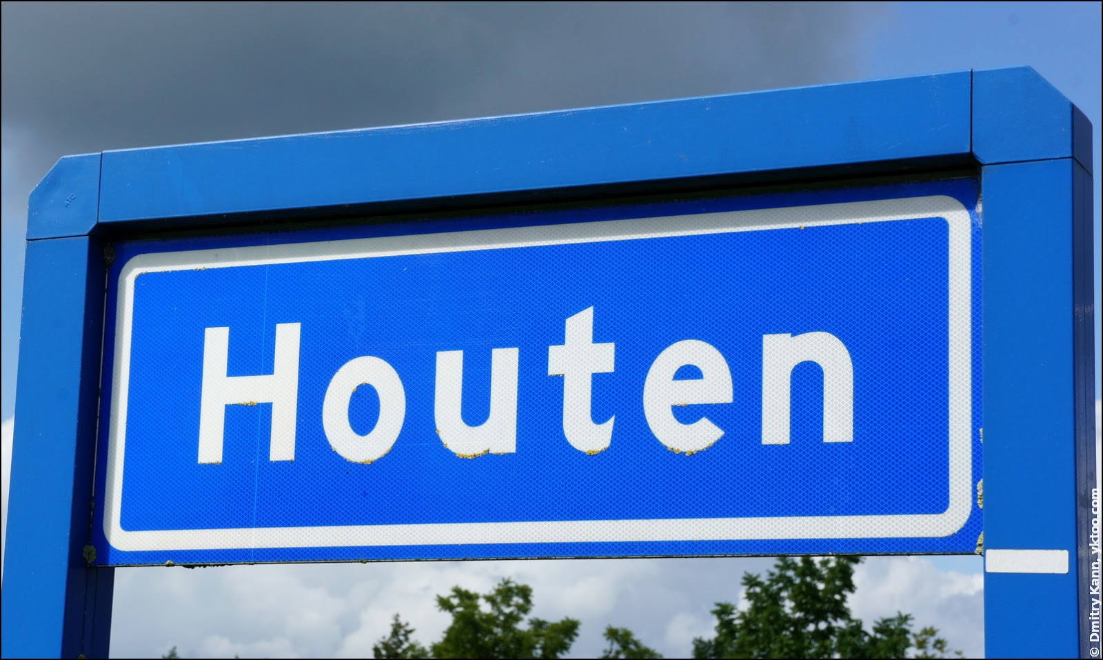
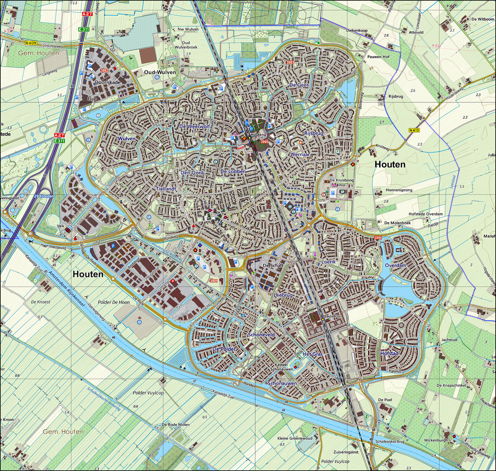
Houten is situated south-east of Utrecht, in the very middle of the country. It has a population of exactly 48,471 people (as of May 2014, and 48,473 including us) and an outline that resembles a butterfly (an eight, a dumb-bell, an hourglass, an apple stump—as far as your imagination goes):
Why Houten? I’ll explain this in one of next posts, please let me now introduce you to the town I’ll probably spend quite a few years in.
The butterfly shape is emphasised by the Rondweg (“Round Road”), which is corded across by De Koppeling (“The Link”) at its narrowest spot.
Houten is full of funny names. Like any other Dutch municipality, the town is divided into districts (wijken), which, in turn, are further split into smaller units—neighbourhoods (buurten):
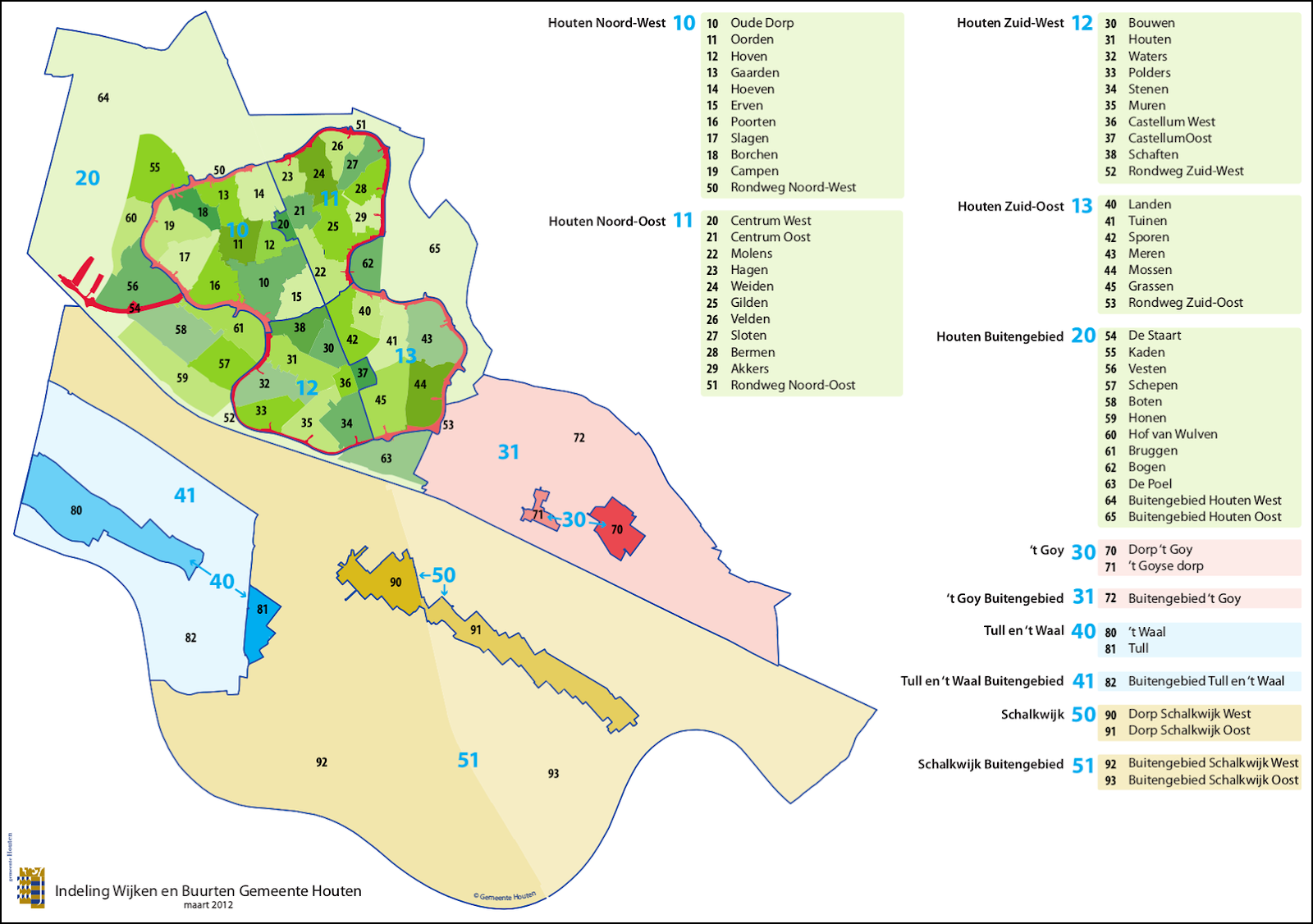
These neighbourhoods are given names like Poorten (“Gates”), Hoeven (“Farmhouses”), Waters and so forth. The streets they contain also acquire the corresponding part in their names. So, for instance, Poorten has Vikingenpoort (“Vikings’ Gates”), Friezenpoort (“Frisian Gates”), Keltenpoort (“Celtic Gates”). Waters has Dooiwater (“Thaw Water”), Geiserwater (“Geyser Water”), Mineraalwater (“Mineral Water”) and simply Het Water (“The Water”).
Which, in my opinion, is much easier to handle than Albert Schweitzersingel, Theo Uden Masmanstraat or Achter den Engelschen Pispot. It’s also easy to guess the neighbourhood a street is in by its name.
Another funny name is given to the road connecting Houten to the A27 motorway: De Staart — “The Tail”.
The name Houten itself, which scored #8 in the Top 10 funniest Dutch names, literally means “wooden”. However the real origin of it is Haltna, which no one can certainly translate. A likely translation is “settlement in the woods”.
Train stations
Being a suburb of Utrecht, which is the biggest railway hub of the country, Houten is a so-called forensengemeente, “commute-municipality”. Every morning hundreds of commuters take a Sprinter to the Utrecht Central Station, (usually) returning back every evening.
Either wing of the “butterfly” has a train station. The Houten station is located in the northern wing and raised above the road level:
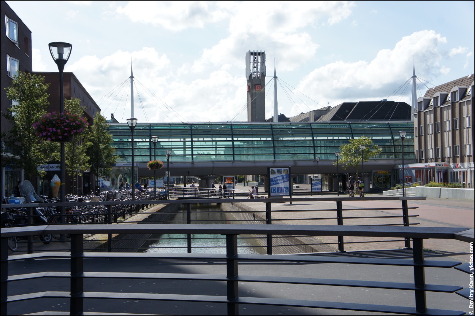
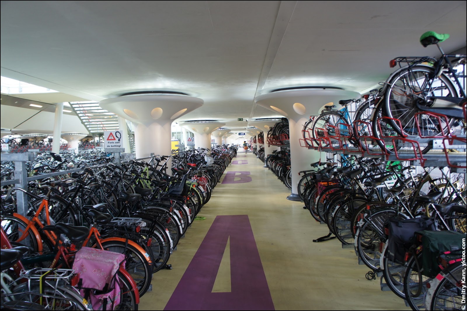
It has a roomy bike parking inside, a Transferium, free and supervised:
I’ll get back to bikes in a later post.
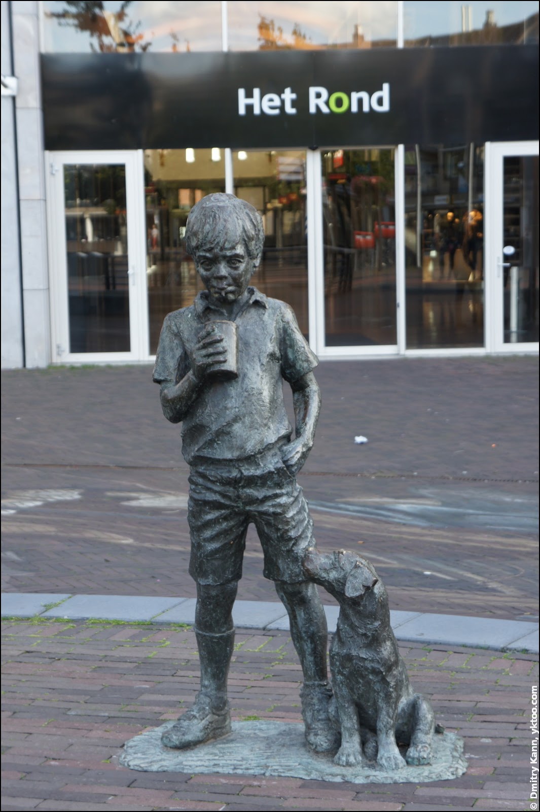
The Houten train station has a square nearby, and a shopping mall bearing the simple name of Het Rond (“The Circle”). The square is watched by a boy holding a can of Cola, his dog is eagerly looking at it:
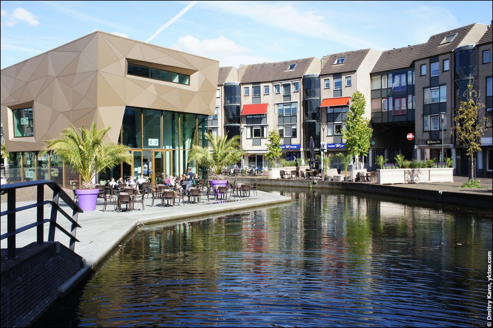
A classic Dutch canal, serving no particular purpose except the sfeer, goes around the square:
Another station, Houten Castellum, is in Houten’s southern part:
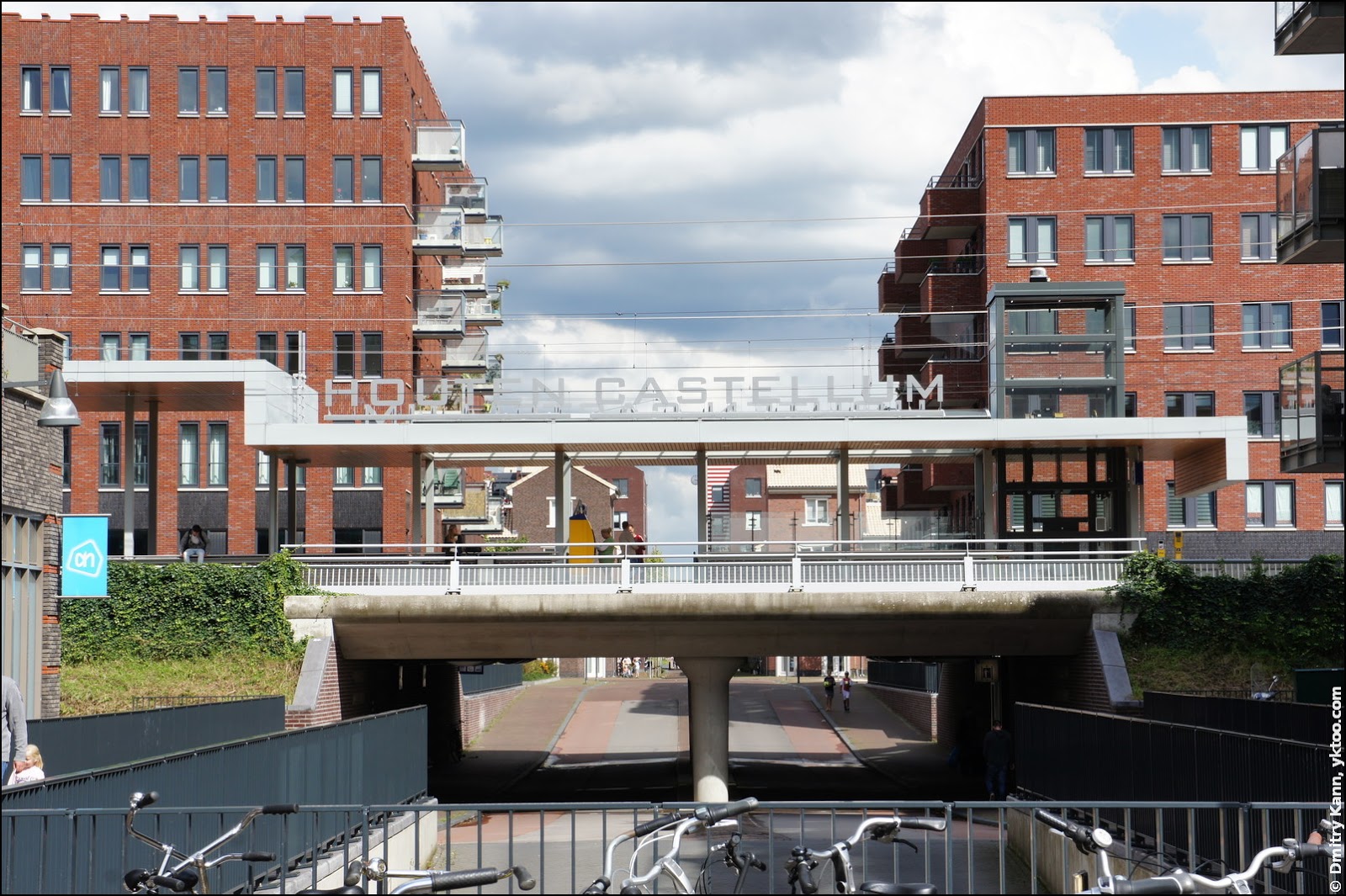
It was first opened in 2001, but back then trains didn’t stop there. Instead, a tram line connected it to the Houten station. The railway received additional tracks in 2008, and in late 2010 the station began to accept regular train service. The tram line was decommissioned.
It takes a couple of minutes to get from Houten Castellum to Houten, and from there another ten minutes to Utrecht Centraal. Sprinters depart every fifteen minutes.
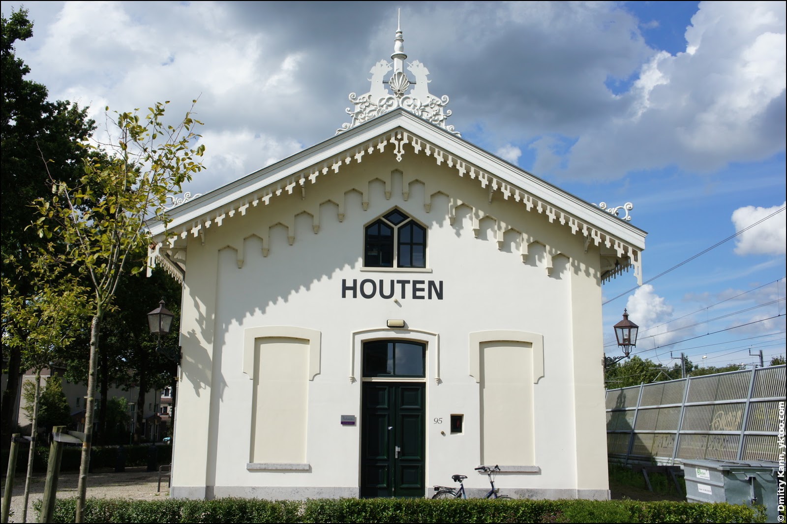
A curious fact: there’s another station between these two, which serves as a restaurant now. “The Old Station” (Het oude station) was built in 1868 and retired in 1936.
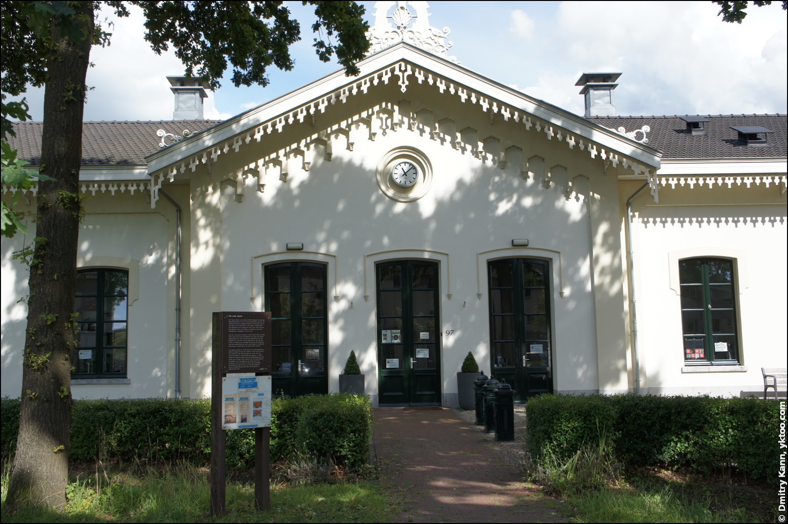
For next few decades it was a family house and an office, and in 2007, when the railroad was to be expanded, the station building was put on wheels and moved a few hundred metres away. According to the information board installed nearby, the unique project was sponsored by the municipality, business and private donations.
Next: Part 2. Bikes
 — world’s fastest URL shortener
Comments